
5 Most Common Types of Surveys
What are the 5 Most Common Types of Surveys?
The Architect and the Land Surveyor
“What are the 5 Most Common Types of Surveys?”
As owner of a civil engineering and land surveying firm for more than 30 years, I have had the opportunity to work with many architects. Over that time I have often noticed my architect clients are not always aware of the different types of land surveys.
This is the first article in a series entitled “The Architect and the Land Surveyor.” In this series, I want to open a dialog on the various types of land surveys, when they apply, and common problems that can impact architects’ projects. I want to share information on how architects can avoid common pitfalls and traps with their clients’ projects.
The purpose of this series is not to train architects to be land surveyors; rather, this series is intended to help identify key issues/problems that an architect can be aware of at the beginning of a project.
Knowledge of a potential issue allows architects to share with their clients the information so it can be clear early on. It is not important that an architect knows how to solve a survey issue, only to be aware and have resources.
The upcoming series of articles will include a “deeper dive” into each type of survey. They will also focus on how and when each survey can benefit an Architect.
The Basics – 5 Most Common Types of Surveys
- Topographic Survey – With a “Record Boundary”
- Boundary Survey
- Corner Record (Simple)
- Record of Survey (Complex)
- Aerial/Drone Mapping Survey
- Boundary Adjustment Survey
- American Land Title Association (ALTA) Survey
The first two types of surveys, “Topographic Survey” and “Boundary Survey,” are, by far, the most common surveys that architects will most likely encounter. The other survey types are more specialized and are used less frequently. Each survey will be discussed in detail in future articles.
For this first article, let's begin with the basic description of each type of survey.
Topographic Survey
This is the most common type of survey used for most types of land development. It is the primary survey used by architects for site design and planning. The purpose of a topographic survey is to note the natural and man-made features of the land. It shows the locations of important items and the depiction of the slope of the land. It also typically includes a depiction of the property line location referred to as a “record boundary.” The “record boundary” is by far the most misunderstood portion of a topographic survey and can have serious consequences if not used properly. The next article will explain this in greater detail.
Boundary Survey
This is a special type of survey that needs to be prepared and “filed” with your local county in accordance with the California Subdivision Map Act. The surveys are reviewed by the County Surveyor before they are made part of the public record.
As the name implies, this type of survey deals specifically with the property “boundaries” and is commonly used when a property line(s) location is(are) in question. This type of survey is used to resolve property line discrepancies. Also, Boundary Surveys are required when a land surveyor places a permanent physical marker in the ground to depict a property line location.
There are two types of Boundary Surveys. The Land Surveyor will determine which one is required.
- Corner record: Used for simple projects. The drawing is prepared on an 8.5” x 11” standard form.
- Record of Survey: Used for complex projects. The survey can have multiple pages.
Boundary surveys are a complex subject and can be very expensive to prepare. Understanding how and when they are used can greatly assist architects in identifying potential problems associated with a project’s boundaries.
Aerial/Drone Mapping
Aircraft and drones are regularly used to capture topographic data on larger parcels of land. In many instances, aircraft or drones can make a surveying job easier, faster, and less expensive than a “conventional” topographic survey. However, they are often less accurate than a conventional survey. This type of survey deals only with topography and not boundary information.
Aerial/drone surveys are commonly used for preliminary design purposes on large parcels of land.
Boundary Adjustment
This type of survey is used when two or more adjacent properties want to
change the boundary line(s) between parcels, while not creating any new parcels. This type of
survey is often used by one property to acquire a piece of an adjacent property.
American Land Title Association (ALTA) Survey: An ALTA survey graphically depicts each element in a preliminary title report where easements and encroachments may be present. It follows survey
and drawings standards set by the ALTA, and shows property boundaries, improvement information
(height, size, setbacks, and more), and recorded title items such as easements. An ALTA survey is
typically required by a financial lender (bank) before they will lend money on a commercial property.
With many options it is easy to see that Land surveying is a complex subject. Knowing what type of
survey is appropriate for a particular project can greatly assist an Architect in guiding their client to select the appropriate survey. Also, understanding common surveying issues allows the Architect to
educate their client and avoid many common pitfalls and traps.
The upcoming series of articles will include a “deeper dive” into each type of survey. They will also focus on how and when each survey can benefit an architect.
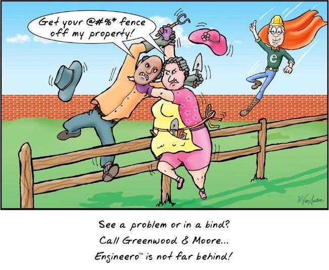
Greenwood and Moore, Inc. is available to resolve potential issues.